This hiking route is also called “La Direttissima” – which means “the direct route”, because it is the shortest route to Hofer Alpl. The altitude difference is 377 metres.

hiking
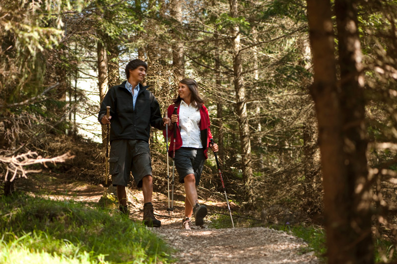
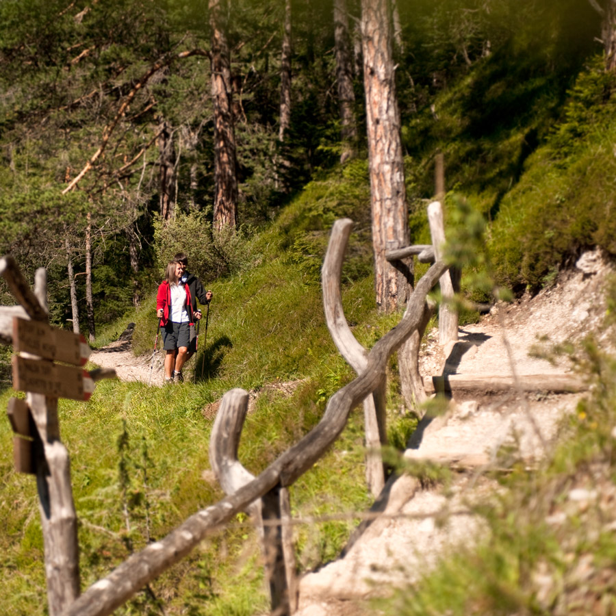
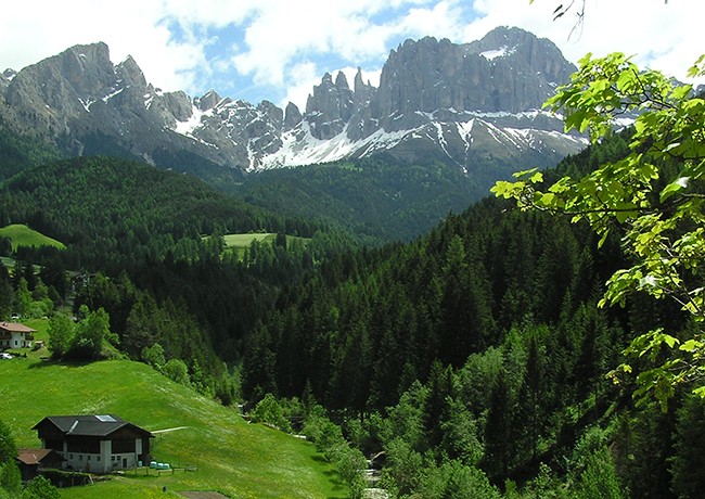
Hike to Hofer Alpl on a beautiful hiking trail.
Many trails lead to Hofer Alpl. Choose a suitable route and stop by for a snack or a leisurely chat.
Tip: you can ply between the villages of Tiers and Seis in a 1-hour cycle with bus line 176.

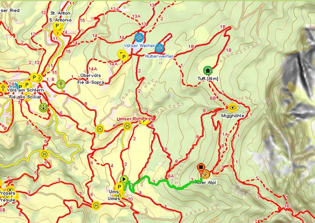
Ums-Hofer Alpl (hiking trail No. 8)
Hiking time: 1h 50m
This hiking trail leads via the forest road up to Hofer Alpl.
The altitude difference is 501 metres.
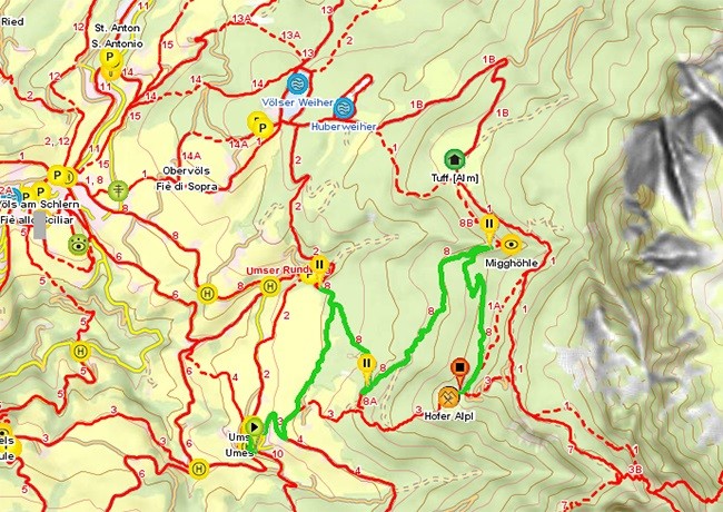
Völser Lake-Tuff Alm-Hofer Alpl
Hiking time: 1h 25m
This is a leisurely family hike with an altitude difference of 417 metres.
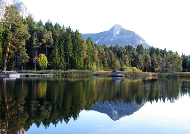
Tip: in winter, when the Völser Lake pond is frozen, you can enjoy ice skating
Siusi -Völser Lake-Tuff Alm-Hofer Alpl
Hiking time: 3h 50m
This hiking trail leads past Völser Weiher via Tuffalm up to our Alpl. The altitude difference is 1,113 metres.
Trails No. 6, 7, 2, 1
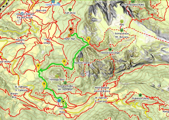
Tiers-Völsegg-Schönblick-Hofer Alpl
Hiking time: 3h
This hiking trail runs along the “Hammerwand”. Here you cover an altitude difference of 963 metres.
Hiking trails No. 4, 6B, 6, 7, and 3

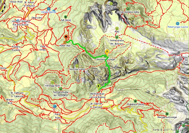
Weisslahnbad (Tiers)-Bärenfalle-Sesselschwaige-Hofer Alpl
Hiking time: 3h 50m
This trail leads through the bear trap, the altitude difference is about 1551m.
Prösels-Schaggenkreuz-Schönblick-Hofer Alpl
Hiking time: 3h
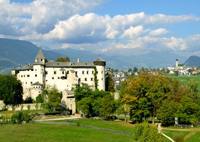
This route starts at the castle Prösels and ends at the Hofer Alpl.
Altitude difference: 720m
Paths nr. 5, 7, 3